With two out of three trips on transit served by buses in Miami, the continued dismantling of the bus system is alarming and misguided.
Our 5-part series takes a deep dive into the state of our bus system.
Supported by:
You are stuck in traffic —
The bus can't save you.
Source: Miami-Dade County GIS DataBus Lanes marked by Transit Alliance Thanks: Adam Old
Buses without dedicated lanes are fish without fins — they can't be faster than the current. In Miami, on-street bus lanes are virtually non-existent, trapping buses in the same traffic transit riders sought to avoid.
Only one corridor features dedicated lanes - the South-Dade Transitway. It successfully serves ~ 2.9 million trips/year. However, many corridors match and exceed this ridership, but lack any dedicated lanes.
Which corridors?
— Routes to Miami Beach (via the MacArthur) serve ~ 5.1 million trips/year
— Routes along Flagler St. serve ~ 4 million trips/year
— Routes along Biscayne Blvd. serve ~ 3.1 million trips/year
— Routes along NW 7th Ave serve ~ 2.8 million trips/year
It's a race —
Will the bus win?
Decisions to take transit often come down to travel time. The ways in which we do (or don't) prioritize transit can make or break its competitiveness.
However, the game is sometimes rigged, with buses destined to lose. Here are three examples.
Homestead → Dadeland South
18.2 miles
Car on Highway30 mins
+ Traffic up to 1 hour 30 mins
Bus with Dedicated Lane 1 hour
Bike 1 hour 40 mins
😀 With a dedicated lane, riders are guaranteed a travel time that is competitive against gambling with traffic.
South Beach (Lincoln Road) → Government Center
3.8 miles
Car on Highway16 mins
+ Traffic up to 40 mins
Bus 27 mins
+ Traffic up to 45 mins
Bike 28 mins
🙁 Without dedicated lanes, buses are stuck in the same traffic with cars, providing no travel time incentive.
Downtown Coral Gables → Downtown Doral
6.75 miles
Car on Highway22 mins
+ Traffic up to 1 hour
Bus 59 mins
+ Traffic up to 1 hour 36 mins
Bike 54 mins
😩 When the bus network does not effectively connect two population centers, the differences in travel time are drastic.
Source: Google Maps Rush Hour Travel Times & Traffic Estimates
Routes, routes everywhere —
But where do they really go?
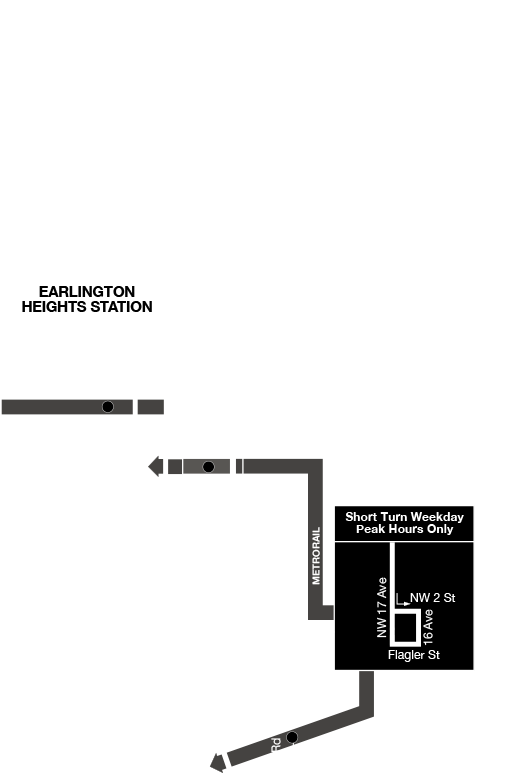
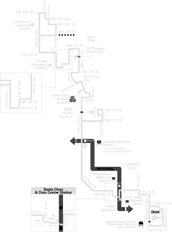
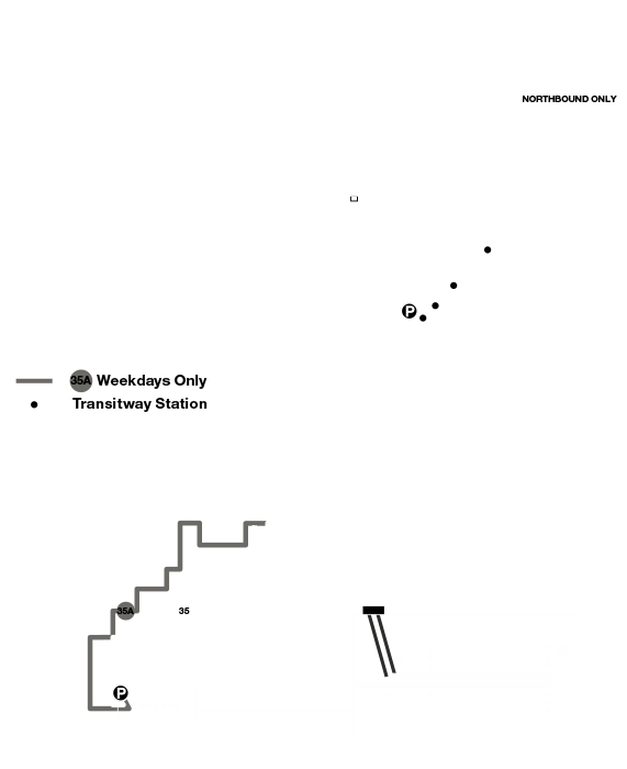
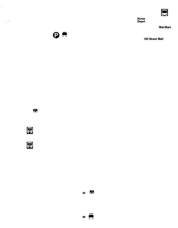
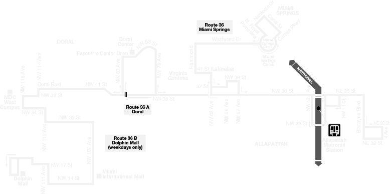
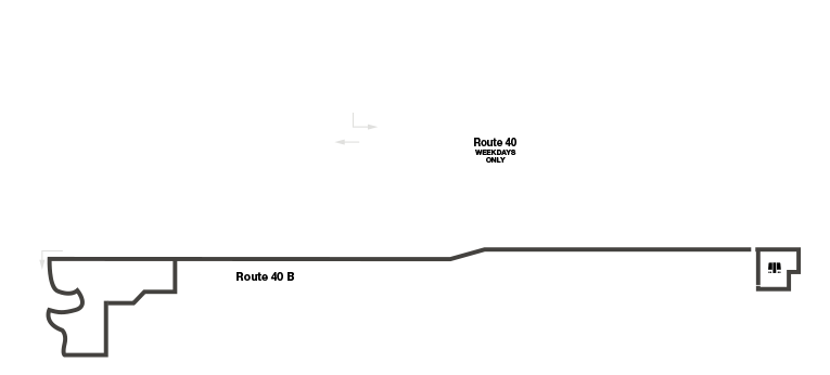
Some of our routes appear to be inspired by modern art moreso than practical design. It is difficult to deduce where they go, and they often take riders on a long roundabout journey.
Below are some of our strangest routes. These are real, official maps.
Route 1
Route 17
Route 32
Route 35
Route 52
Route 246
Route 36
Route 40
One bus rider —
25 bus systems.
Our transportation surtax funds 25 free trolley systems. Each municipality runs a different vehicle and plans its own routes, hours and frequencies.
The adoption of trolleys has created a more fragmented transit system. A clear indicator of that - not a single trolley system can be tracked in real-time in any major transit app (eg. Google Maps, Transit, MDT Bus Tracker.)
Disclaimer: Although the analysis presented by Transit Alliance has been produced from sources believed to be reliable, Transit Alliance makes no warranty or claims as to the accuracy of said data or the resulting analysis. It is often necessary to manually compile and reformat the data for presentation, and determine guidelines and assumptions to appropriately represent trends. We welcome corrections, please e-mail us at help (at) transitalliance.miami